I hope that for many of you, FPV UK’s TheDroneMap.com has become an essential part of flying when you get your drone out.
We continue to develop it and add features - what are the most obvious to you guys that are still needed?
I hope that for many of you, FPV UK’s TheDroneMap.com has become an essential part of flying when you get your drone out.
We continue to develop it and add features - what are the most obvious to you guys that are still needed?
Do I have to create an account with drone map or use my log in from here?
Thanks in advance
With drone assist, we could submit a flight plan and request permission from the control tower directly in the app, which was a useful feature.
Currently it is it’s own log in.
One day FPV UK, Drone Hub, TheDroneMap.com will all be one click to log into all of them.. but our devs have told us its not a small task!
Flight plans are now live!
Request Permission
This is the next big feature on our development roadmap ![]()
The Drone map is now the go-to resource for all drone flyers. Rather than go down the route of drone-assist, maybe it would be a good idea to charge a fee for its use or link it to FPVUK membership, which could boost membership and increase the drone-hub 's use. I, for one, would be happy to pay for such a valuable resource, and I’m sure many others would too, or maybe include a link to voluntary contributions.
Good afternoon,
I used the drone map today whilst in holiday in Snowdonia. Nothing on the map at the campsite location and I had permission to fly so I drained a couple of packs. Just after I finished, a jet came over very low and it appears the flight path for today’s RAF flights is low and directly overhead.
What would cause this information to be missing from the drone map? I feel my confidence in it is slightly shaken.
Thanks,
JP
I don’t think the RAF publish such information? Is it showing on any map?
I don’t think the military wants to advertise its location in advance, mate. At least you were aware and acted accordingly.
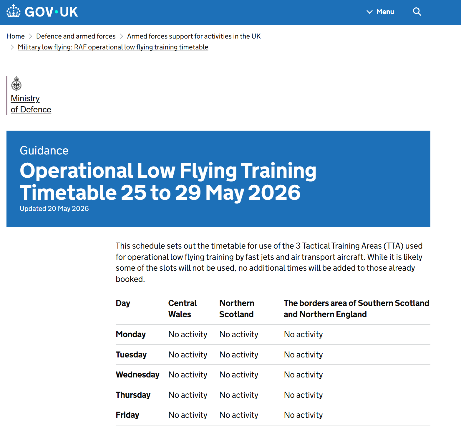
In theory, it does publish when it will be low flying in a general tactical training area, but in practice they haven’t done so at all this year. This is the publication for the current time.
Operational Low Flying Training Timetable 25 to 29 May 2026 - GOV.UK
We are speaking to the RAF presently, with regards to them checking Flight Reports on thedronemap.com before they fly. Therefore it may be worth logging a flight report before you fly in future.
You can contact the MOD low flying team at SWK-lowflying@mod.gov.uk
Telephone: 01780 417558
Monday to Friday, 8:00am to 4:00pm
Also, how low is very low? Was this military low flying (down to 250 feet for fixed wing, down to 100ft for rotary wing) or just military flying?
It felt low but hard to estimate. I was very happy not to have a quad in the air at the time. Stopped my next few batteries from being emptied and now it’s raining!
It was fixed wing so I guess the 250ft limit but it felt lower.
A little blip this morning as we did some works on the back end - is everyone able to log in and use it successfully?