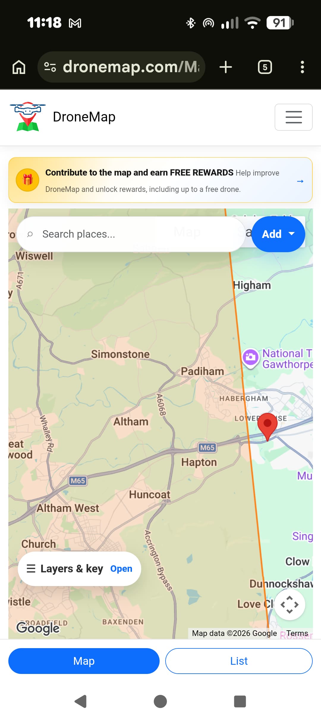
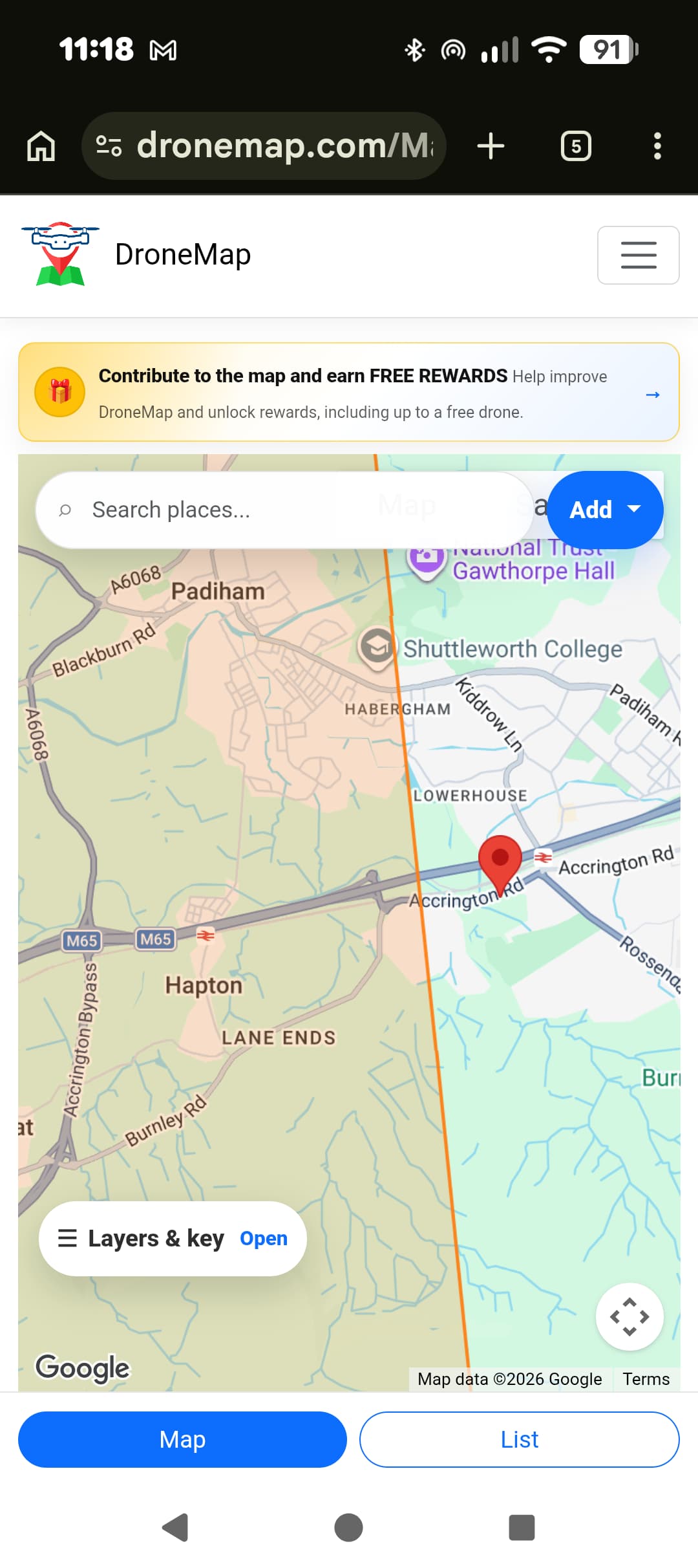
Hi, I’m sat at a fishery on Hapton near Burnley, I thought I’d have a gander at the map.
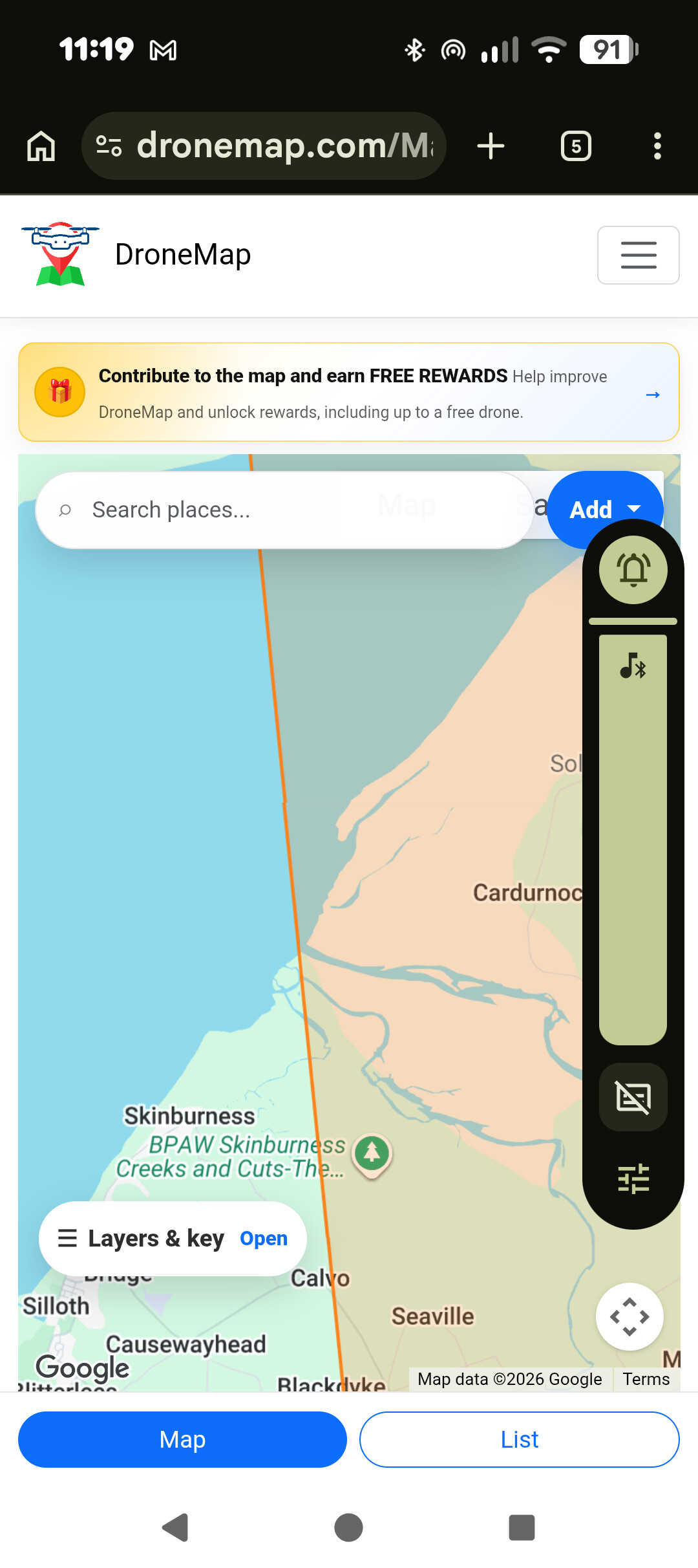
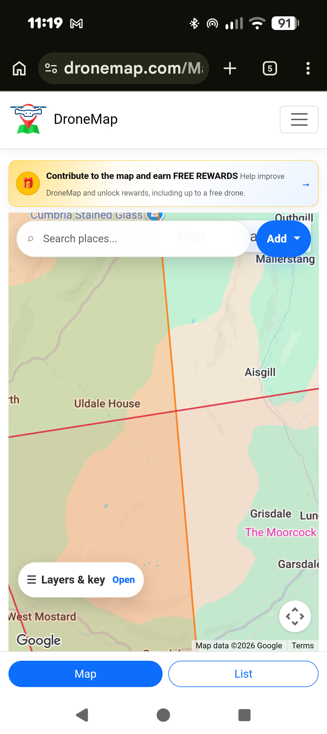
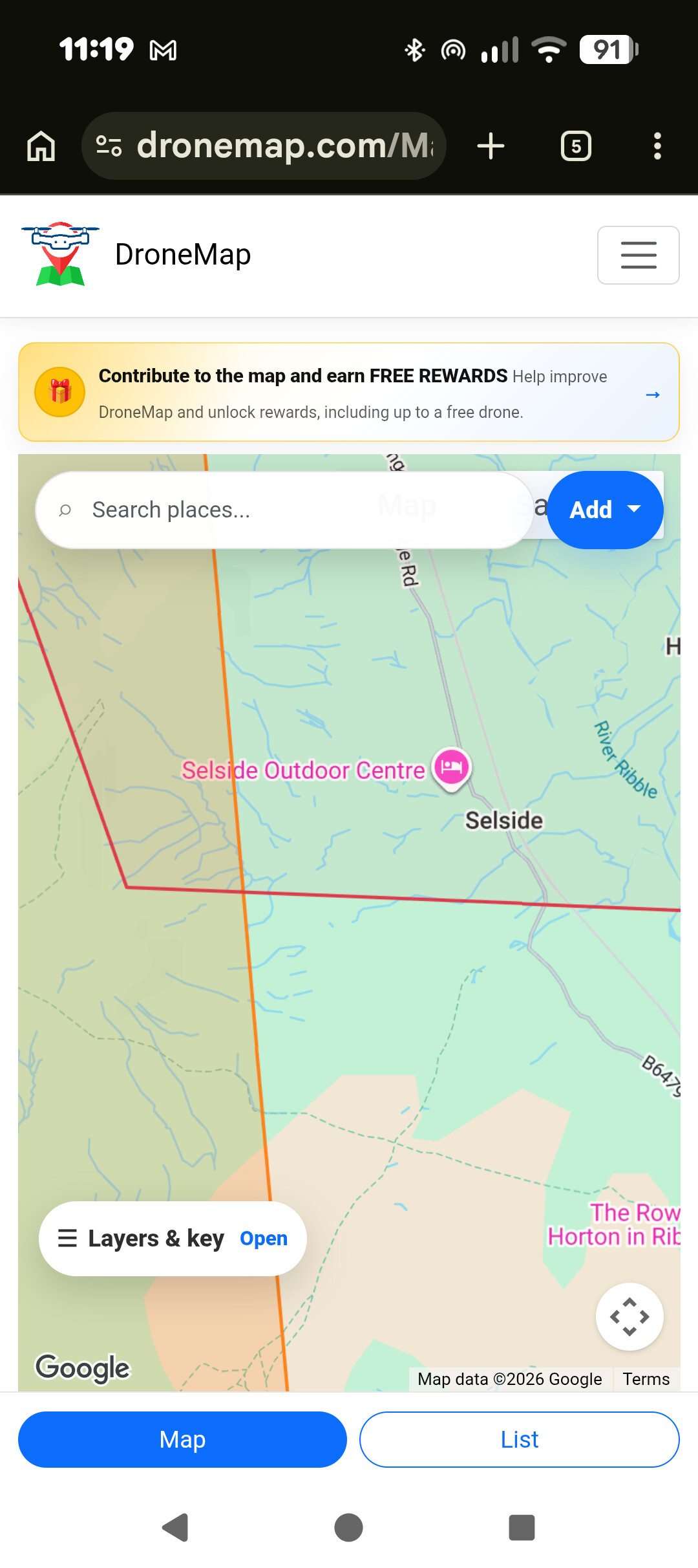
When I do and zoom on it shows a massive orange restriction that goes up to Scotland, over to the left of the country and down near Brum.
Text says:
Restriction
9CFJGP22+PJ
PermissionAir
Rule summary
UAS Airspace Restriction You cannot fly here
Rule description
Government listed airspace restriction This area appears in https://nats uk.ead it.com/cms nats/opencms/en/uas restriction zones/ This page is based on imported UK UAS data and may need additional community review.
What’s going on here?
I have “air” selected on the layers.
Cheers.
@Mattylad That’s a known issue with some mapping apps. It isn’t a genuine no-fly zone covering half the UK. I’d double-check it against Drone Assist, Altitude Angel, or the official NATS Drone Assist airspace information before assuming you can’t fly.
If all the other apps show clear airspace and there are no NOTAMs or local restrictions, it’s almost certainly a mapping/data glitch rather than a real restriction. Always worth cross-checking before packing the drone away! 

1 Like
AHA! I have opened the actual app and it’s OK, it’s on the web interface to mobile Chrome that does it.
Note to self, use the app lol.
Cheers.
1 Like
Hi @Mattylad Could you please share some screenshots of the issue?
Aah,
Well the problem here is that you are using the wrong map!
TheDroneMap.com is the one you need to be using.
3 Likes
Both have been shown to be inaccurate and out of date since they went into administration.
With TheDroneMap.com, we source all our data directly from the official resources and are constantly working to enhance and improve 
1 Like
Aha, an imposter site then 
Cheers.
1 Like
Yeaah it is a problem, there’s even an App on the Apple store with a very similar name, but its for a czech based map!
1 Like